© LIST
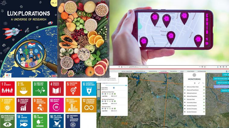
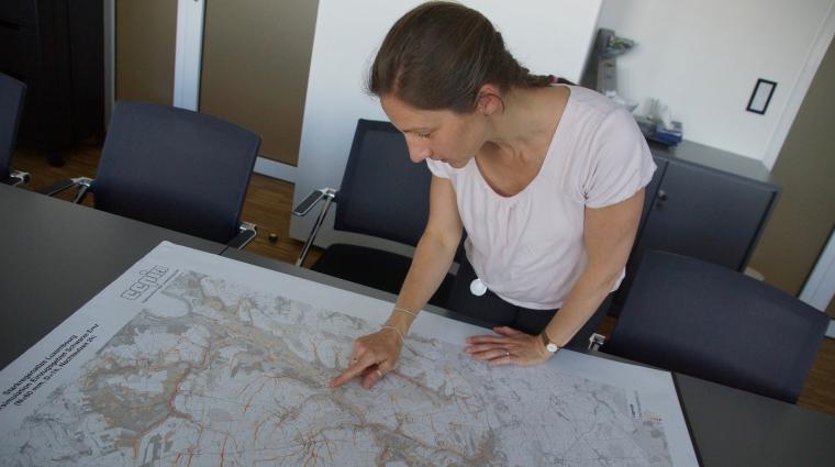
The flood maps were generated by the Luxembourg Institute of Science and Technology’s (LIST) using latest-generation satellite images.
Flood maps technology from Luxembourg helped US authorities to manage the flooding caused by hurricanes Harvey and Irma in August and early September.
The flood maps were generated by the Luxembourg Institute of Science and Technology's (LIST) using latest-generation satellite images. The algorithm-based approach by LIST makes it possible to quickly create detailed maps of flood-hit areas. This technology helped to monitor and predict floods when Hurricanes Harvey and Irma ravaged the United States, bringing flooding to Houston, Texas and Florida.
LIST is part of the ”Global Flood Partnership”
To deal with the catastrophic situation, US authorities called on the "Global Flood Partnership" (GFP), a collaboration between scientific organisations and managers of massive floods across the world, in order to develop flood observation and modelling tools. In calling on the GFP, the US authorities used the maps extracted. LIST's proven expertise gave the US authorities an overview of the areas worst affected by flooding.
The maps, published on the Dartmouth Flood Observatory website set up by the University of Colorado in the United States, are being made available to the Federal Emergency Management Agency (FEMA). They are allowing them to enhance their management of the various phases of a major natural disaster. The maps highlight the areas worst hit by the event, thus enabling them to deploy protective measures to reduce risk.
International Cooperation, constant development
For a number of years now, LIST researchers have been working relentlessly to develop a method of automatically picking out surface water from satellite radar images. In the framework of the international network, the Luxembourgish experts also regularly take part in community efforts to test the methods they have developed. The principal aim of these tests is to produce flood maps for flood management stakeholders in various regions of the world.
Even in the early development stages, the LIST algorithm was implemented in the European Space Agency's (ESA) Grid Processing On Demand platform. This integration has provided both LIST's researchers and external users with rapid access to the images acquired by the ESA and enables them to process them effectively. The algorithm is still being developed and improved by researchers as part of several ongoing research projects (see Infobox).
Author: LIST
Visual: LIST
Infobox
Three projects are currently ongoing to further improve LIST’S flood map algorithm: the first one, "MOnitoring and predicting urban floods using Sar InTerferometric Observations" (MOSQUITO), aims to improve the reliability of flood mapping tools in urban areas and to use flood maps to improve flood prediction models. A second project entitled SAPSAN, "The World’s first Synthetic Aperture Radar-based flood hazard map", aims to build a global archive of maps of floods observed by the ESA's ENVISAT satellite over more than a decade, from 2002 to 2012. Lastly, a third project, PUBLIMAPE ("Public Information Mapped to Environmental Events"), is designed to combine satellite flood maps with information drawn from social media in order to build a better picture of affected areas and improve flood prediction models.